|
|


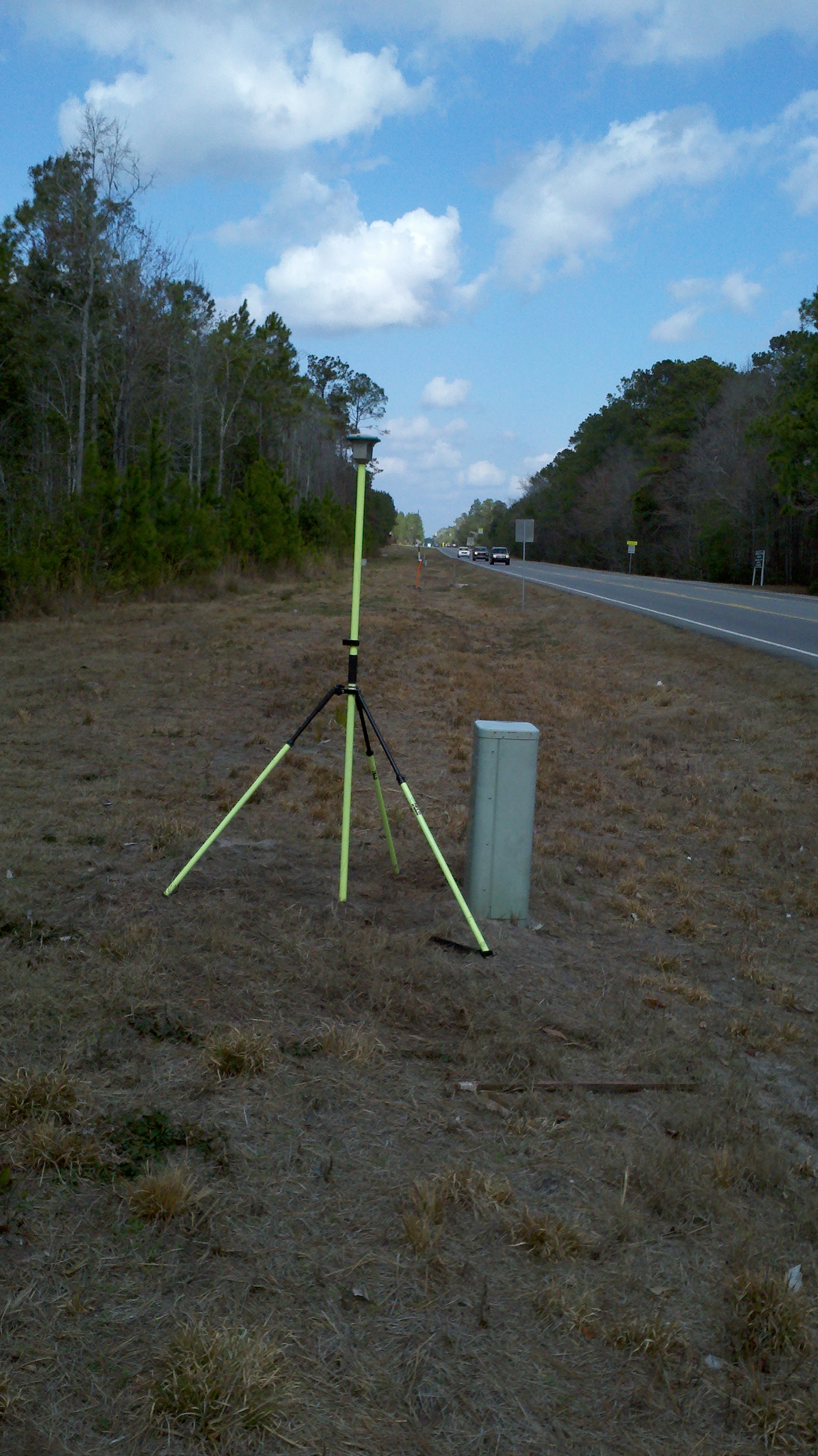
Jackson Surveying, Inc. is experienced with the latest equipment and technology including electronic and robotic total stations and GPS equipment. We offer services in our field that include start to finish project preparation, land planning and final county approvals. We facilitate cooperation between our clients and the local governing bodies by making use of the contacts and the working relationship we have developed working in the area. Our resulting maps, plats, and calc sheets are produced electronically using AutoCAD based software.
Now accepting 
|
|


